Mangawhai Transport
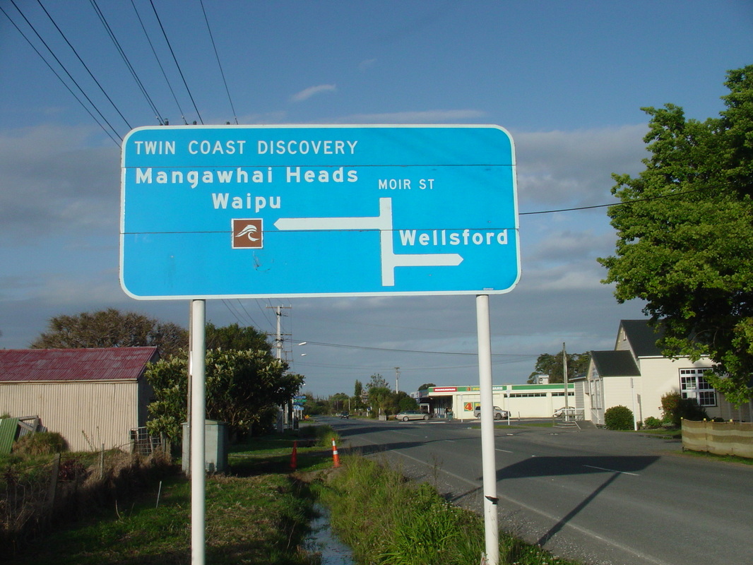
Mangawhai Village and Heads communities are situated beside the Mangawhai Harbour on the Pacific Ocean ( east ) coast of New Zealand's North Island, 110 kms north of Auckland, 75 kms south of Whangarei, 14km east of State Highway One ( at Kaiwaka ) and about 70 kms south east of Dargaville.
Historically the upper reaches of the harbour were used by Maori to portage canoes across to the upper reaches of the Kaipara Harbour ( via Hakaru )to gain access to that harbour and to the west coast.
Mangawhai Harbour provided access to the area for European Kauri timber millers gum-diggers and settlers who cleared the land for agricultural uses.
A dray ( horses and cart ) track was established between Mangawhai and Kaiwaka in the mid-1800s.
The North Auckland Railway line runs 16 km west of Mangawhai Village, 2 kms west of Kaiwaka.
The section from Otiria in the Far North, through Whangarei was completed in 1925 and the branch line connecting from Dargaville to Waiotira was completed in 1940.
These essential components of our strategic transport infrastructure are currently under threat
of closure under the National Government's KiwiRail Turnaround Plan.
see : www.saveourrailnorthland.org.nz
There are buses travelling between Auckland and Whangarei that will drop off and pick up passengers at Kaiwaka but there is no public transport in and out of Mangawhai. There is no airport/ or air-field in Mangawhai
The only way to get to Mangawhai is by private motor-vehicle ( or hitch-hiking or arranging a lift in one ).
Vulnerabilities: Price of fossil fuels. Road slips, flooding, closure of harbour , bad weather.
Transport infrastructure resources: Roads, Motor-vehicles, Bicycles, Horses, Harbour, Jetty (at Mangawhai Heads and at Back Bay, upper harbour , moorings, boats, )
Alternatives: Public transport, boat, bicycle, walking, helicopter.
